NITI Aayog has released a new map that attempts to identify all primary and secondary sources of energy and their transport/transmission networks to provide a comprehensive view of energy production and distribution in India.
Benefits of It:
Energy markets have immense potential to bring in efficiency gains.
Going forward, GIS-based mapping of energy assets will be advantageous to all concerned stakeholders and will help in accelerating the policy-making process.
The GIS-based energy map of India may be useful for geospatial planning of resource.
The planning may include infrastructure planning for upcoming solar parks, coal blocks, crude oil and natural gas pipelines, investment guidance for financial institutions, disaster management of possible energy disruption and emergency response, safety of energy assets due to harsh climatic conditions.
This may also help in resource and environmental conservation measures, inter-state coordination on infrastructure planning including different corridors of energy and road transport highway.
Partners:
Niti Ayog
ISRO
About it:
The web-based geospatial energy map of India includes visualisation of spatial and non-spatial data on renewable and non-renewable power plants, oil and gas downstream sector, renewable energy potential, fossil fuel resources, and other energy assets in India.
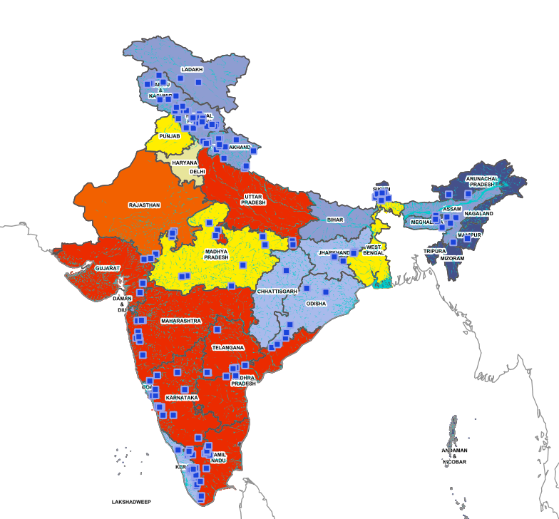
Figure 3:GIS map showing distribution of Large Hydro Power Plants