Free Courses Sale ends Soon, Get It Now


Free Courses Sale ends Soon, Get It Now


Copyright infringement not intended
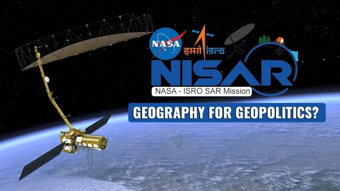
Picture Courtesy: India Narrative
Context: The NASA-ISRO Synthetic Aperture Radar (NISAR) mission is a joint endeavour between NASA (the United States' space agency) and ISRO (the Indian Space Research Organisation).
Details
Key objectives of the NISAR mission
|
Carbon Capture and Release |
●NISAR aims to monitor how forests and wetlands capture and release carbon. Forests store carbon in the wood of trees, while wetlands store it in their organic soil. Any disruption to these systems can lead to the release of carbon dioxide and methane into the atmosphere. ●By tracking land-cover changes, NISAR will provide valuable data on how these ecosystems impact the global carbon cycle. |
|
Deforestation and Climate Change |
●Approximately 11% of net human-caused greenhouse gas emissions are attributed to forestry and land-use changes. ●NISAR's data will improve our understanding of how the loss of forests worldwide influences the carbon cycle and contributes to global warming. ●It will help in monitoring deforestation and forest degradation and encourage more sustainable logging practices. |
|
Wetland Flooding and Carbon Release |
●Wetlands, despite covering a small percentage of the Earth's land surface, hold a significant amount of carbon in their soil. ●When wetlands flood, they release methane, a potent greenhouse gas. When they dry out, they release carbon dioxide. ●NISAR will monitor the flooding and drying of wetlands, helping researchers understand how these carbon-rich ecosystems react to climate change and human activities. |
|
Global Coverage |
●NISAR's radar systems will scan nearly all of Earth's land and ice surfaces every 12 days, providing a comprehensive view of changes in forests and wetlands worldwide. This continuous monitoring will be invaluable for tracking both short-term and long-term trends. |
|
Other Applications |
●In addition to ecosystem monitoring, NISAR will provide data on the motion of the Earth's surface, helping researchers understand geological phenomena such as earthquakes, volcanic eruptions, landslides, and subsidence and uplift. ●It will also track the movements and melting of glaciers and sea ice. |
Conclusion
Must Read Articles:
NISAR: https://www.iasgyan.in/daily-current-affairs/nisar
|
PRACTICE QUESTION Q. What are the primary scientific objectives and potential applications of the NASA-ISRO Synthetic Aperture Radar (NISAR) mission, and how does its unique radar technology contribute to our understanding of Earth's processes and the environment? |
© 2024 iasgyan. All right reserved