Free Courses Sale ends Soon, Get It Now


Performance-Based Navigation

3rd June, 2023

Disclaimer: Copyright infringement not intended.

Context

  • India conducted Asia’s first demonstration for Performance-Based Navigation for helicopters.
  • The flight from Juhu to Pune made use of the GAGAN satellite technology that enhances accuracy, allowing for high-quality air traffic management.

Performance-based navigation is a modern method of air navigation services in the commercial aviation industry. In the early days, aircraft navigation specifications were defined as sensors and identification signals such as beacons and waypoints.

Background

  • In the early days of aviation, aircraft were not equipped with a range of smart instruments to measure flight position and other data. Instead, aircraft pilots used to rely on visual cues to guide them through the sky, mostly various visual landmarks such as bonfires or natural features.
  • However, with the rapid development of commercial aviation through the first half of the 20th century, aircraft started reaching new heights and flying in high altitudes while relying on visual landmarks became a challenge. Hence newer aircraft were produced with gadgets like high-precision gyros and radio transmitters to be able to contact ground-based navigation aids as radio beacons, which would help pilots plot their routes more precisely.
  • The greatest breakthrough in navigation, however, happened in the 1960s with the introduction of GPS.

RNAV or area navigation

  • Historically, aircraft navigation has been heavily governed by a sensor specific method, specifically VOR beacons as well as instruments onboard to guide the pilot in respect to a specific waypoint. This manner of navigation, was quite limiting since the pilot was constricted to following a singular line through the air.
  • In the 1970s as airspace design became more complex with ever-growing air traffic and obstacle clearance requirements, RNAV as a concept was introduced. RNAV or area navigation allows the pilot to know their present position at any given time with or without the use of ground-based navaids. This eliminated the need to follow radio beacons and let the aircraft move to and from two random points in a given area. Using area navigation in turn led to more efficient, greener routes.

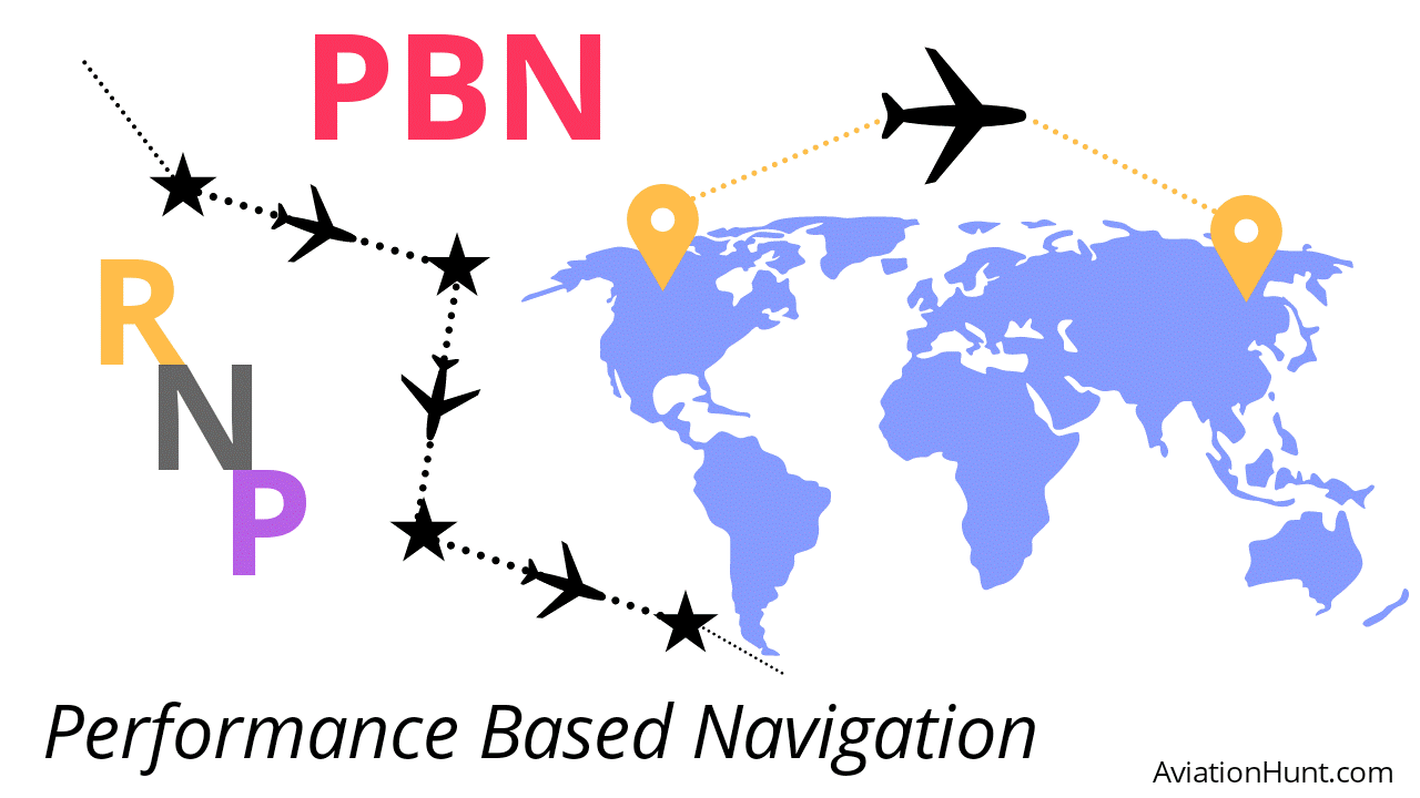
What is Performance-Based Navigation?

  • In simple language, PBN is a concept that exists under the RNAV and reshapes the navigational ability of an aircraft from sensor-equipment-based to performance based

PBN is

 “Area navigation based on performance requirements for aircraft operating along an ATS route, on instrument approach procedures or in a designated airspace.”

  • PBN procedures state that pilots can have enhanced navigation capability if they can use RNAV to travel their desired path and also monitor their onboard equipment with respect to how accurately it is able to measure position error.
  • Two elements make up what we know as PBN today – Area Navigation (RNAV) and Required Navigation Performance (RNP).
  • So, PBN is a relatively new approach between air service providers to resolve this miscommunication, to define and clarify the application and procedures of RNAV and RNP from approach procedures to all areas of a flight. Moreover, PBN implementation aims to make sure the efficiency RNAV brings to aviation is properly employed and to ensure that pilots fly with appropriate equipment during appropriate circumstances and procedures.

What’s the difference between RNAV and PBN?

  • Performance based navigation (PBN) exists under the definition of area navigation or RNAV, but in this context, RNAV simply means ‘area navigation’.
  • Area navigation is a concept which does not require an airplane to be heading directly to or from a radio navigation station/beacon on any desired flight path, meanwhile PBN instructs the operators to use RNAV for a certain route or approach if they can comply with other data.

About GAGAN

  • GAGAN is an Indian Satellite Based Augmentation System (SBAS) jointly developed by the Airports Authority of India (AAI) and the Indian Space Research Organisation (ISRO) and is the first such system developed for India and neighbouring countries in the equatorial region.
  • GAGAN, an indigenous satellite-based augmentation system, is designed to enhance the accuracy, reliability, and integrity of satellite navigation signals in India.
  • It provides precise positioning and navigation services for various sectors, including civil aviation, maritime, and land transportation.
  • It is a Space Based Augmentation System (SBAS) that provides the best possible navigational services over Indian FIR (Flight Information Region) with the capability of expanding to neighbouring FIRs.
  • GAGAN is a system of satellites and ground stations that provide GPS signal corrections.

READ ALL ABOUT GAGAN: https://www.iasgyan.in/daily-current-affairs/gps-aided-geo-augmented-navigation-20

PRACTICE QUESTION

Q. Consider the following statements:

1. RNAV or area navigation allows the pilot to know their present position at any given time only with the use of ground-based navaids.

2. GAGAN is a system of satellites and ground stations that provide GPS signal corrections.

Which of the above statements is/are correct?

(a) Only 1

(b) Only 2

(c) Both 1 and 2

(d) Neither 1 nor 2

Correct Answer: (b) Only 2

https://pib.gov.in/PressReleasePage.aspx?PRID=1929515